where we work

FishPath is being applied across the globe, both led by The Nature Conservancy, NOAA, CSIRO, and other members of the FishPath Network. FishPath applications range from full FishPath engagements with a series of multiple workshops, to trainings on the use of the FishPath tool.

where-we-work-intro

More Applications of the FishPath Tool

case-studies-section-title

FishPath Engagement Processes

case-studies-section-title
australia

Australia

new south wales beach

© Paul Stickland

new south wales pipis

New South Wales (NSW), the central eastern state of Australia, manages a range of coastal fisheries. The annual total value of NSW wild harvest commercial fisheries is approximately AUS$90 million at first point of sale. The wider seafood industry generates close to AUS$370 million of economic activity each year, employing more than 3,500 people. Simultaneously, the NSW recreational fishing industry generates about AUS$3.4 billion annually. Despite implementing a catch quota system in 2019, NSW fisheries management is not underpinned by formal harvest strategies.

Following a series of introductory workshops and FishPath webinars to NSW fishery managers and broader stakeholders, a dedicated workshop was held in early 2019 to apply FishPath to identify harvest strategy options for a beach-based, intertidal fishery: Beachworms and Pipis (small bivalves) Estuarine General Hand Gathering fishery. Via a series of workshops and core group intersessional work, CSIRO is now partnering with NSW Department of Primary Industries (DPI) Fisheries to provide expert, context-specific guidance in the development of harvest strategies using the FishPath process and tool. We aim to build capacity in data-limited fishery stock assessment and deliver implementation ready fishery harvest strategies for a range of NSW DPI Fisheries. The key issues in NSW fisheries are less around data limitation, and more a lack of formal guidance to develop tailored harvest strategies for multiple gears and sectors (including the important recreational sector), especially given that many target species are cross-jurisdictional.

the-bahamas

Bahamas

bahamas conch underwater

© Jeff Yonover

Queen Conch (Lobatus gigas) is an iconic species in the Bahamas. Fishing for conch is an important source of income for Bahamian communities, an emblem of cultural identity, and its consumption is a staple in local diets. However, overfishing and habitat degradation undermine the sustainability of the conch fishery throughout the country. Surveys of abundance in Bahamian waters suggest declines in conch stocks, threatening the health of the marine ecosystem and the livelihoods of thousands of fishers and their dependent families and businesses.

The Nature Conservancy (the Conservancy) and its partners, The Bahamas Department of Marine Resources and The Royal Bahamas Defence Force and local artisanal fishers, have been working together to apply the FishPath approach to Queen Conch since late 2017. After a foundational step of using the FishPath Tool in a multi-stakeholder setting for the first time in the country, the Conservancy specifically focused on engaging fishers to hear and document their voices regarding the feasibility of management measures and proposed actions facing the fishery. One of the key bottlenecks identified was a lack of information on determining mature Queen Conch and ensuring that mature individuals can remain in the water to reproduce and sustain a healthy population. To address this challenge and inform the development of improved management measures, the Conservancy began hosting educational engagements with conch fishermen and conch scientists during 2019 about conch biology and maturity. A shared understanding of shell characteristics that indicate maturity, such as shell length and lip thickness, will support both fishermen and fishery managers in ensuring a sustainable fishery. Combined with data analyses supported by partners at NOAA Fisheries and Nature Analytics during 2020-2021, the Conservancy and Bahamian stakeholders have drafted an adaptive Queen Conch fishery management plan. During 2022, this plan is being refined and circulated with stakeholders to support improved Queen Conch fishery management. The Conservancy and partners are now starting to apply the FishPath approach to snapper and grouper species in the Bahamas.
 

chile

Chile

small scale fishing chile

© TNC

Fisheries are an essential economic driver for almost every coastal community in Chile, a country with an extremely productive coastal zone that forms part of the Humboldt Current, one of the world’s richest marine upwelling systems. While Chile is known as a pioneer in developing co-management approaches for nearshore marine resources targeted by artisanal fishermen, overfishing and illegal fishing continue to be a threat to the sustainability of small-scale fisheries and to marine coastal habitats and their dependent species. The Conservancy is collaborating with government agencies, local fishing communities, academics, local NGOs, and other stakeholders to apply the FishPath approach to small-scale fisheries across the country.

In partnership with the Instituto de Fomento Pesquero (IFOP), and the government agencies managing fisheries (Subsecretaria de Pesca y Acuicultura (SUBPESCA) and the Servicio Nacional de Pesca y Acuicultura (SERNAPESCA)), as well as academics, NGOs, and fishers, the Conservancy applied the FishPath process to the coastal finfish, Vieja Negra (Graus nigra), a species of importance to small-scale and recreational fishers and kelp forests in the central and northern regions of Chile. Through this first FishPath engagement in the country, main challenges to develop and adopt a management plan for Vieja negra, and for coastal finfish overall, were identified and a plan for advancing management improvements for other coastal finfish developed. To understand the fisheries legal setting for implementing management actions for unmanaged coastal finfish and address challenges in data limitations, data and legal analyses were performed and informed by multi-stakeholder workshops. Currently the team and partners continue to advance the improved management of the Vieja Negra fishery through exploring options for developing and implementing management measures at the national level. The team is also conducting collaborative research with fishers to understand the condition of coastal finfish stocks. Areas of work include fish tagging to explore species home ranges for spatial management and proposing recommendations for recreational fishers’ bag and size limits. In addition, the Conservancy is applying FishPath to other fisheries in Chile, such as blue and mako sharks, and razor clam (navajuela).

hawaii

Hawai'i

kaupulehu landscape

© Peter French

workshop group outdoors

© TNC

Coral reefs and associated reef fishes of Hawai‘i provide invaluable cultural and ecological benefits for nature and people. The nearshore fisheries of Ka‘ūpūlehu and Kūkiʻo, located on the western side of the island of Hawai‘i, have been a sustainable source of sustenance to the people of these lands for several hundred years. In 2016, due to declines in their fisheries, the Ka‘ūpūlehu Marine Life Advisory Committee (KMLAC), decided to pause fishing for 10 years to allow fish stocks to replenish, with the intention of fishing resuming in 2026 with a sustainable fisheries management plan in place.

In December 2021, The Conservancy and KMLAC completed a FishPath process to develop a fisheries management plan that allows for sustainable harvest, is culturally appropriate, simple to convey, and enforceable. The plan applies the precautionary principle that future fishing pressure is unknown and anticipated to be high with population growth and eagerness of fishers to return to the area, and therefore multiple layers of protection were chosen to reduce potential overharvest. KMLAC thoughtfully considered the perspectives of fishers and simplified the rules proposed in the plan wherever possible to make them easier to communicate. The outcomes of the KMLAC process have inspired other communities to use FishPath as well, including neighboring Kīholo and multiple communities on the island of Maui. The Conservancy is applying the lessons learned about the FishPath process with KMLAC to improve the efficiency of engagements and strengthen the integration of traditional ecological knowledge. These refinements that will enhance the pace and scale of future engagements to support decision making for community-based fisheries management throughout Hawaiʻi.


indonesia

Indonesia

indonesia small scale fishing

© Kevin Arnold

indonesia workshop group

© NOAA

Indonesia contains some of the most diverse marine habitats and richest fishing grounds in the world. Its many islands and high water to land ratio makes management a distinct challenge. A large number of stocks across a large area, combined with limited technical capacity, poses an intense challenge to the development and implementation of science-based fisheries management. The FishPath tool was first introduced to colleagues in Indonesia through a stock assessment training in 2017. A subsequent FishPath engagement in 2018 led by NOAA Fisheries brought together scientists, managers and NGOs representing national and provincial levels of governance throughout Fishery Management Area 715 for the first time ever.

Additional applications of the FishPath process and tool have focused specifically on provincial fisheries in West Papua and on nationally-led stock assessments for snappers. In West Papua, NOAA scientists are working with Indonesian colleagues toward establishing the first fishery management plan in Indonesia, and one in its poorest region, to empower local authorities to ensure sustainable catch in anchovies for local villagers who have recently seen diminished livelihood opportunities because of much of the industrial anchovy fisheries diverting catch to provide bait for the tuna fisheries. There is hope this fishery management plan can become a template for the rest of the country. At the national level, the goal of the FishPath process in the mixed-stock snapper fishery is to stabilize fish populations vulnerable to overfishing. In Indonesia, FishPath has been an organizational tool that has repeatedly been used as data collection, assessment, and management options have been critiqued and formulated for the specific needs of each fishery examined.

mexico atlantic

Mexico - Atlantic

laguna de terminos coastline

(c) TNC

workshop group in campeche mexico

(c) TNC

The Gulf of Mexico is home to many economically and culturally important small-scale fisheries. In the Mexican state of Campeche, the Blue Crab (Callinectes sapidus) fishery operates primarily in the Laguna de Términos, which is the largest tidal lagoon by volume located entirely on the Gulf of Mexico, and is a RAMSAR site. Motivated by a decline in Blue Crab catches that was noted by fishermen, scientists, and agency staff, stakeholders have been motivated to come together to analyze data and work towards updating the fishery management plan for this important species.


In order to address challenges in the data-limited Blue Crab fishery, a FishPath Process in the Mexican Atlantic was initiated in 2023. The process had been spurred by INAPESCA staff participating in the FishPath process in the Pacific for red snapper, and a desire to replicate a series of similar steps in the Atlantic. An initial 3-day workshop was held in May 2023 where the FishPath Tool was used to identify viable options for management measures, stock assessment, and data collection, as well as critically review existing data streams. Next steps involve working with the INAPESCA Team in Ciudad del Carmen on data analyses and data-limited stock assessments, as well as exploring the design of a study to collect an updated time series of effort data using local ecological knowledge. This FishPath process application also demonstrates how lessons about FishPath are being shared within a fisheries agency, in this case, from the Mexican Pacific to the Atlantic.

mexico pacific

Mexico - Pacific

small fishing vessel at sunset

© Nick Hall

fish in box with ice

© Carlos Aguilera

The Gulf of California harbors incredible biological diversity and represents more than 70% of national fishery production. Despite this importance, only one in ten fisheries are managed sustainably, demonstrating the importance of focusing on the remaining fisheries in need of management improvement, conducting stock assessments, and implementing responsive harvest strategies. One of the challenges lies in limited resources for fisheries management, of which a majority are directed towards industrial or larger scale fisheries, which are important for export markets. However, it is important to recognize the vital role that artisanal fisheries play in Mexico— more than 250,000 fishers depend directly on this activity and this sector represents more than 23% of national fishery production.

In order to improve management of small-scale coastal fisheries, The Conservancy, in collaboration with the Instituto Nacional de Pesca y Acuacultura (INAPESCA) and the Comisión Nacional de Acuacultura y Pesca (CONAPESCA), applied the FishPath Tool and engagement process to the Huachinango fishery (Lutjanus peru) to understand its current setting and challenges, which were similar to the rest of the finfish fishery that includes Huachinango (called “escama”). A technical team was created to identify appropriate data collection, assessment, and management measure options. As a result of this process, the team decided to implement management measures in Baja California Sur as a pilot site, where there is a finfish Fishery Improvement Project in the San Cosme - Punta Coyote Corridor, focused on Huachinango, yellowtail, triggerfish, and leopard grouper. We are partnering with NGOs Niparajá and ProNatura, as well as local communities to use the FishPath approach to develop a harvest strategy for these important resources. Next steps include the use of FishPath process results to support the overall effective management of the finfish fishery. Furthermore, INAPESCA and the Conservancy are interested in documenting this process to replicate in other small-scale fisheries in Mexico.

peru

Peru

small scale fishing vessels peru

© TNC

Artisanal fisheries in Peru are incredibly important to the nation’s domestic seafood supply, exports markets, health of marine ecosystems, and economies of coastal communities. Because of this, The Nature Conservancy has been working across diverse fisheries in Peru to apply FishPath in collaboration with the Instituto del Mar del Perú (IMARPE) and local fishing communities.

In collaboration with IMARPE, the Conservancy and partners applied the FishPath process to the Chita fishery or Peruvian grunt (Anisotremus scapularis) in 2015. Over a two-year period, the Conservancy and Peruvian partners used the FishPath process and tool to select the monitoring actions, stock assessment options, and decision rules applicable to the Chita fishery. Additionally, the team completed suitable data-limited assessment approaches identified by FishPath and considered the associated management regulations. One of the implemented management actions was an annual closed season to protected spawning, now adopted by Peru’s Ministry of Production (PRODUCE). Continuing the collaborative work with Peruvian partners, the Conservancy and IMARPE applied the FishPath process for additional species of concern, including lenguado (Paralichthys adspersus), shark species including Shortfin Mako shark (Isurus oxyrinchus) and Blue shark (Prionace glauca), and Patagonian Toothfish (Dissostichus eleginoides), among others. In 2021, we used FishPath in the Eel fishery to support the development of an action plan to move the fishery towards MSC certification.

Each process has involved IMARPE and other fishery stakeholders. In addition, as part of this collaboration, IMARPE and the Conservancy have been implementing a series of training workshops to contribute to strengthening technical capacities for implementation of data-limited stock assessments, aimed at fishery scientists. The new assessment options have contributed to IMARPE’s work in expanding stock assessments to several fisheries and providing management recommendations. In addition, the Conservancy continues to collaborate with artisanal fishing communities to apply FishPath in the design of community-based management strategies for rockfish and benthic resources.

seychelles

Seychelles

fishing boats in seychelles coastal landscape

© Jason Houston

hands passing a fish

© Jason Houston

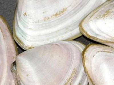
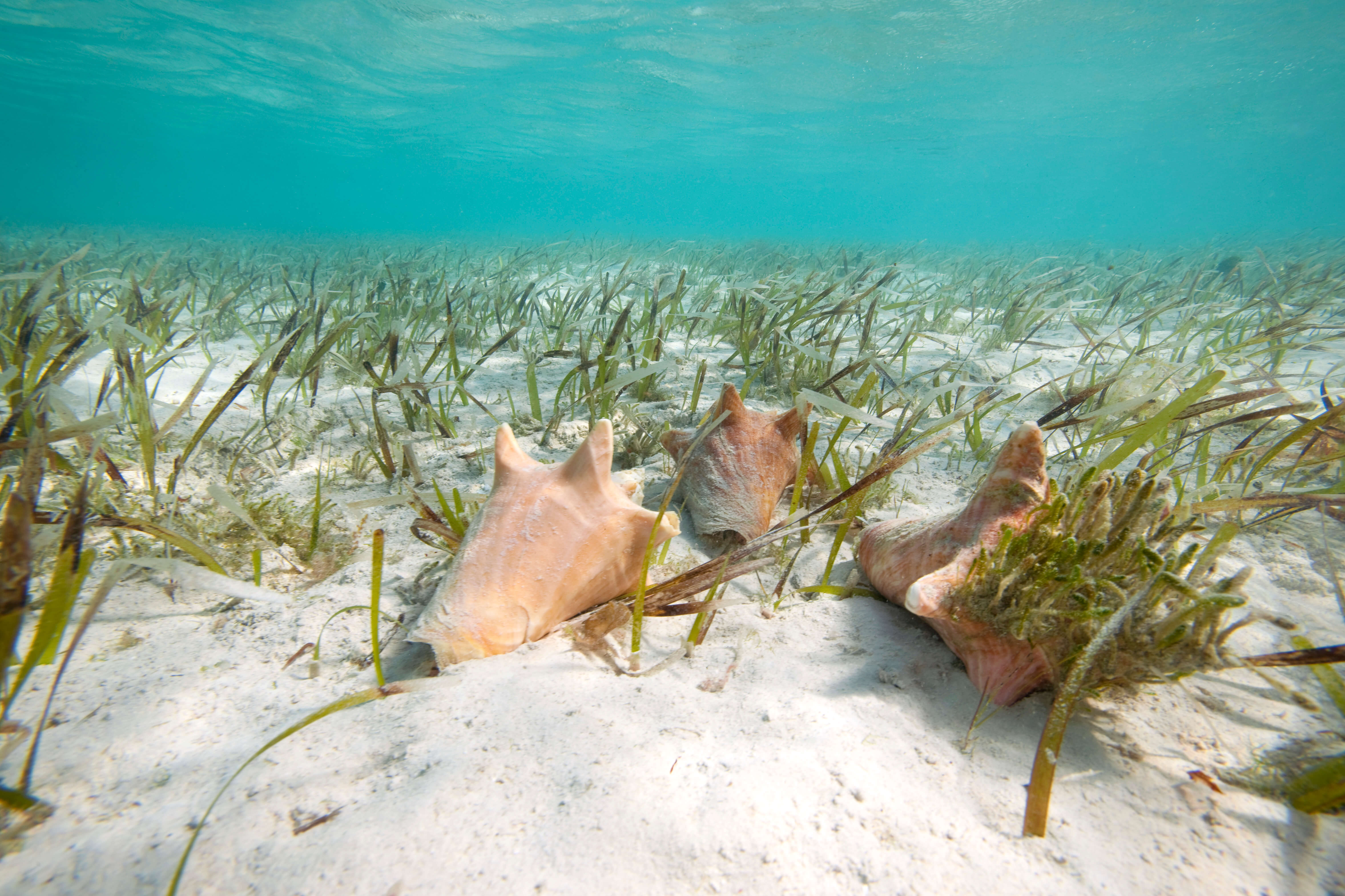
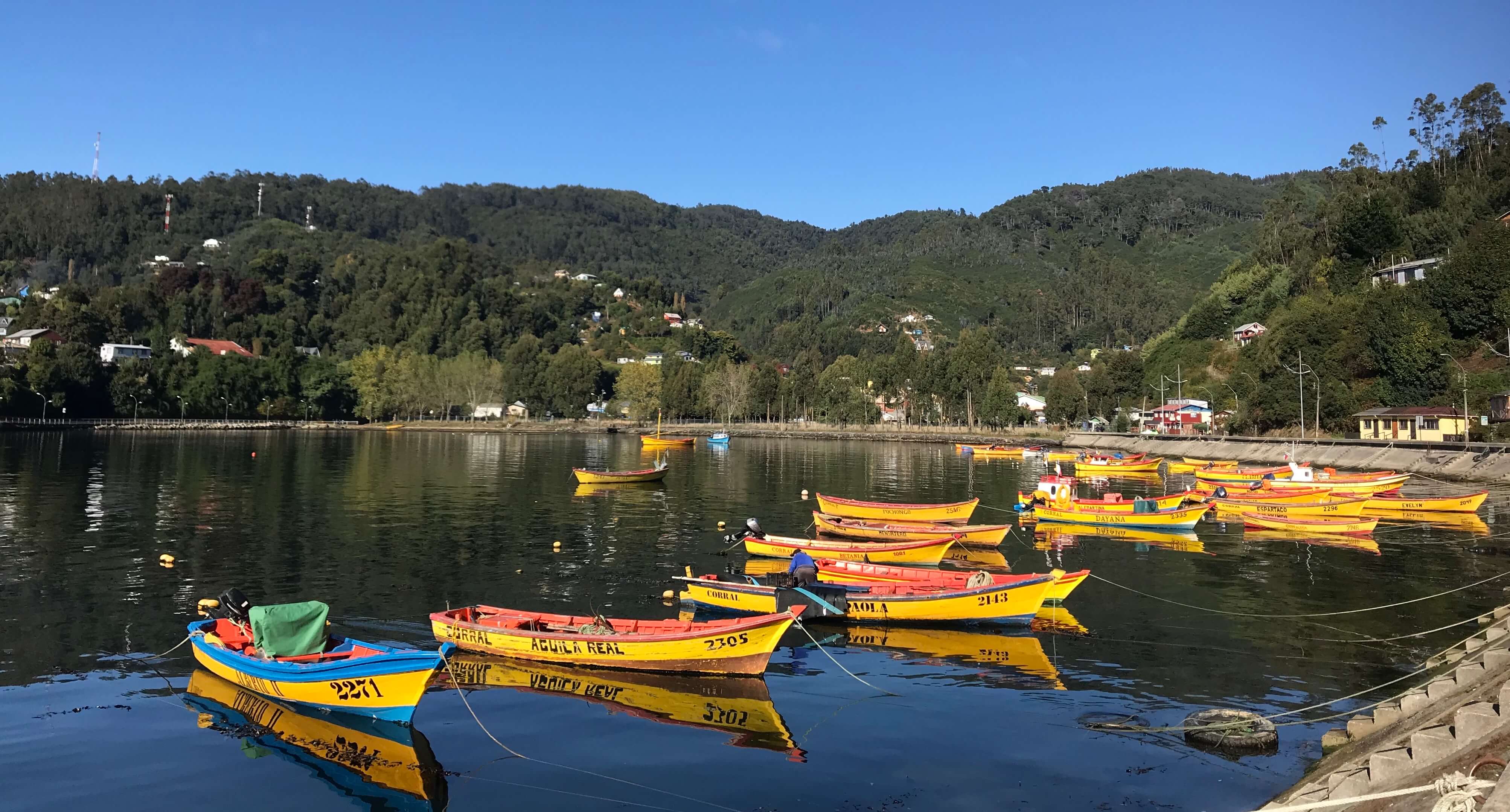
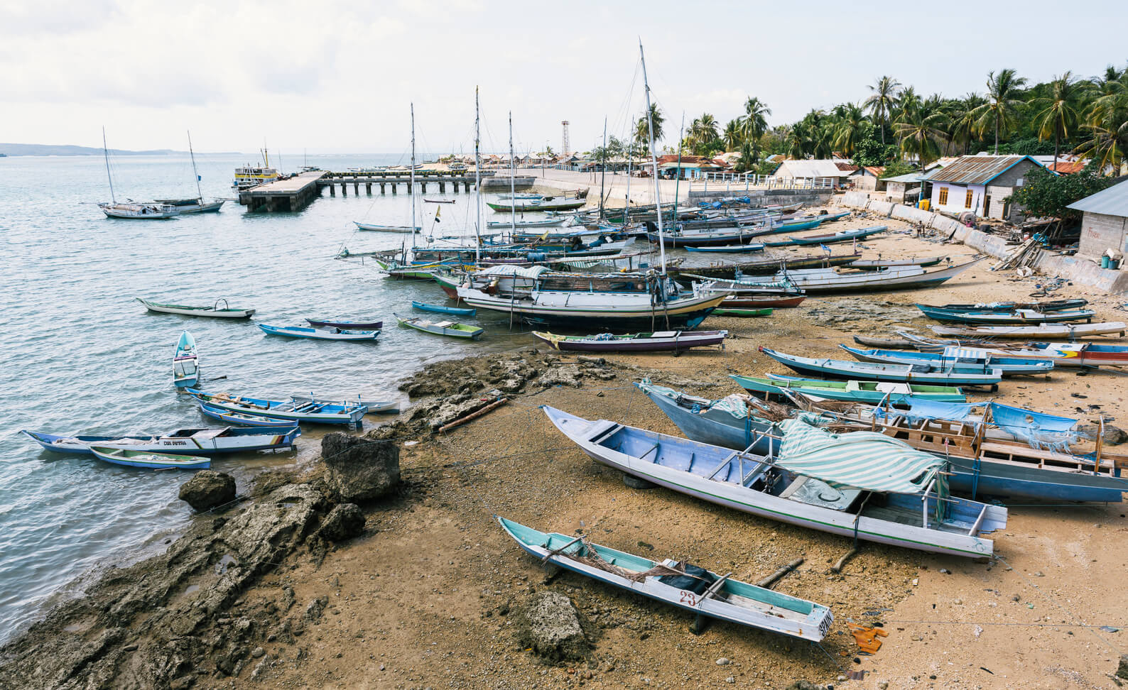
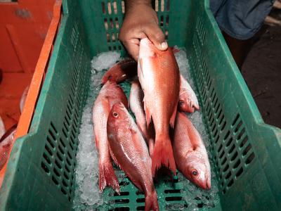
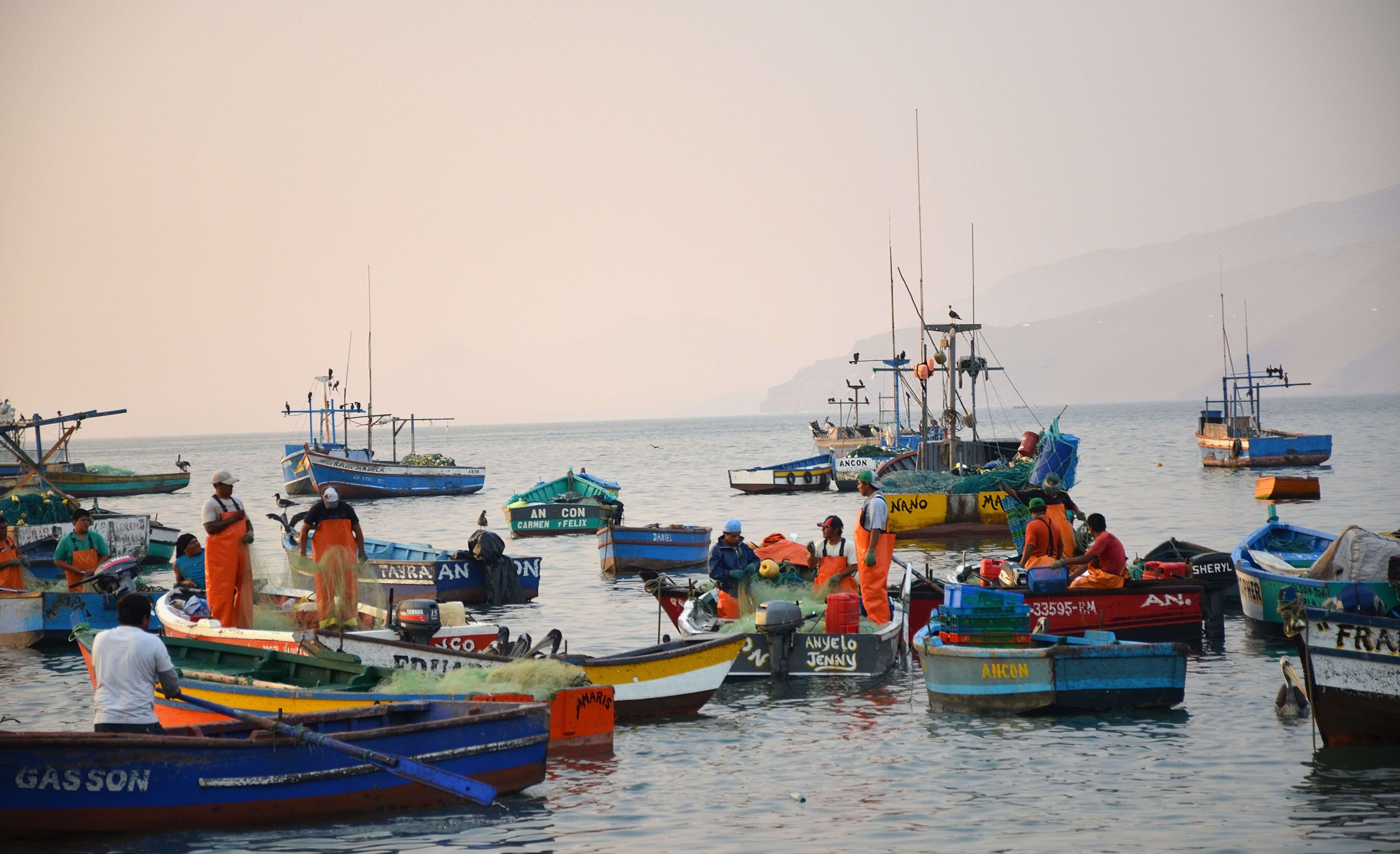
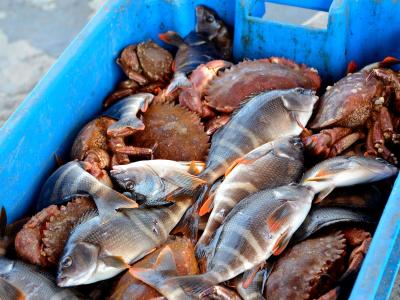
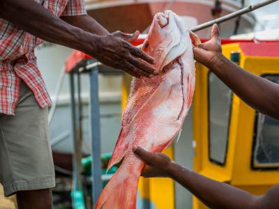
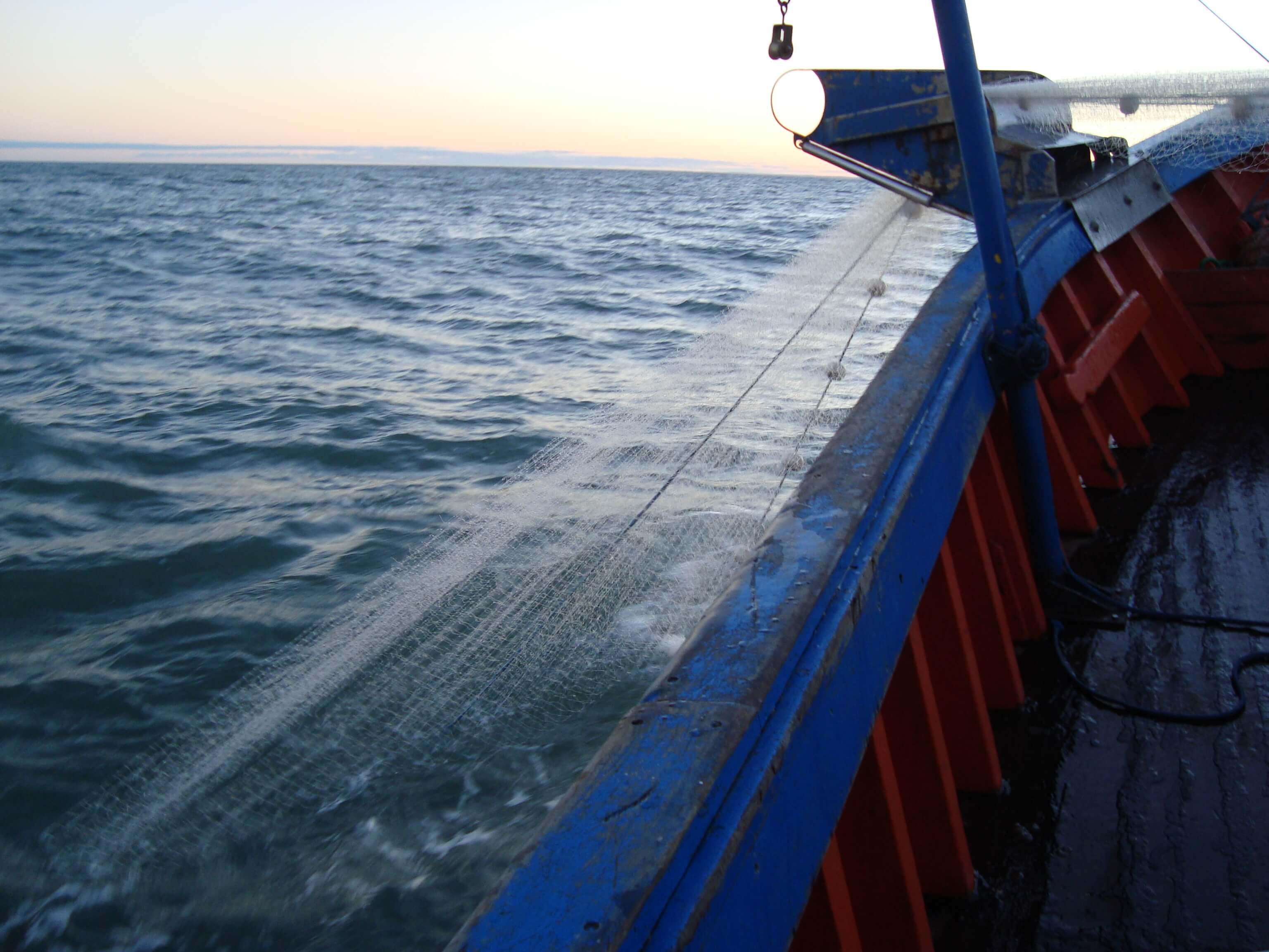
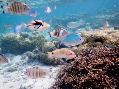
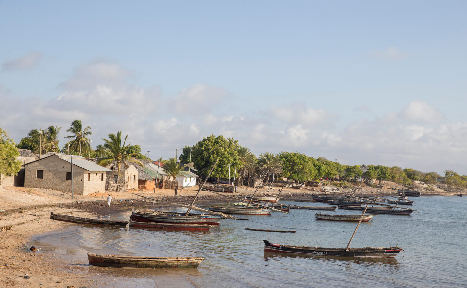
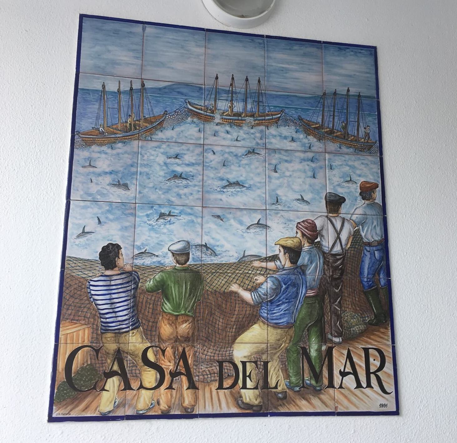
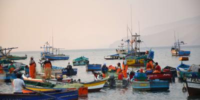
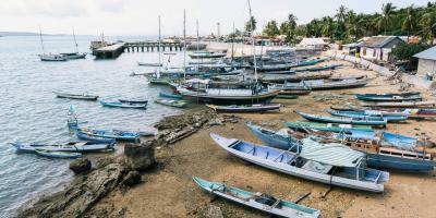
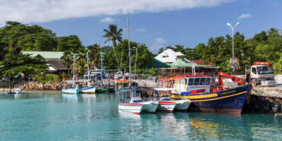
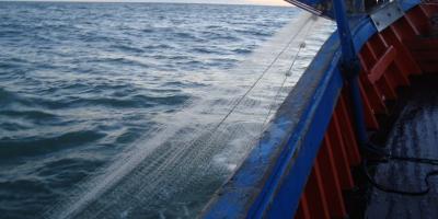
The Republic of Seychelles has one of the highest per capita rates of fish consumption in the world. The Seychelles fishing sector constitutes ~17% of total formal employment, while exports of fish and fish products represent ~95% of the total merchandise exported in Seychelles. While much of the export is driven by large scale tuna fisheries, small-scale fisheries are of critical importance to local communities, local food supply, and livelihoods. The Seychelles marine ecosystem has been compromised by increasing human pressures, including overfishing. Several fisheries have collapsed, prompting the government to take stronger actions to ensure Seychellois fisheries remain sustainable. Fisheries management is currently limited by insufficient legal and institutional frameworks, human capacity, and infrastructure.

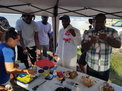
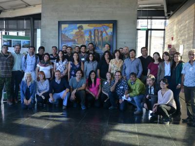
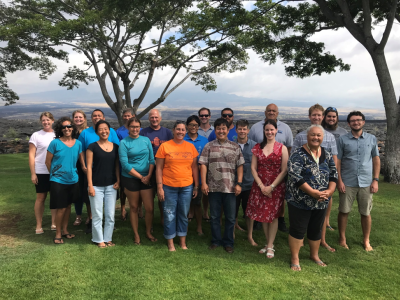
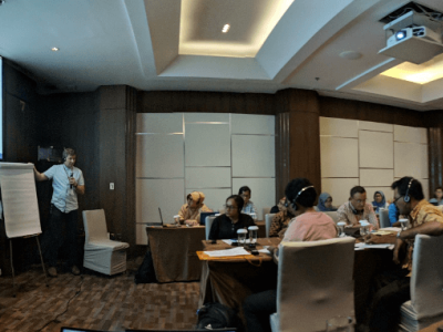
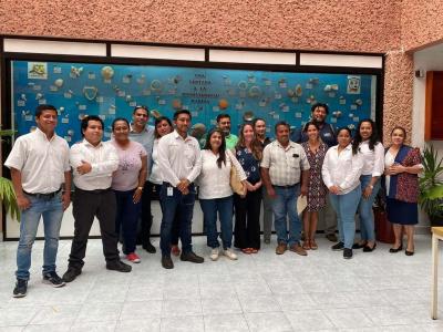
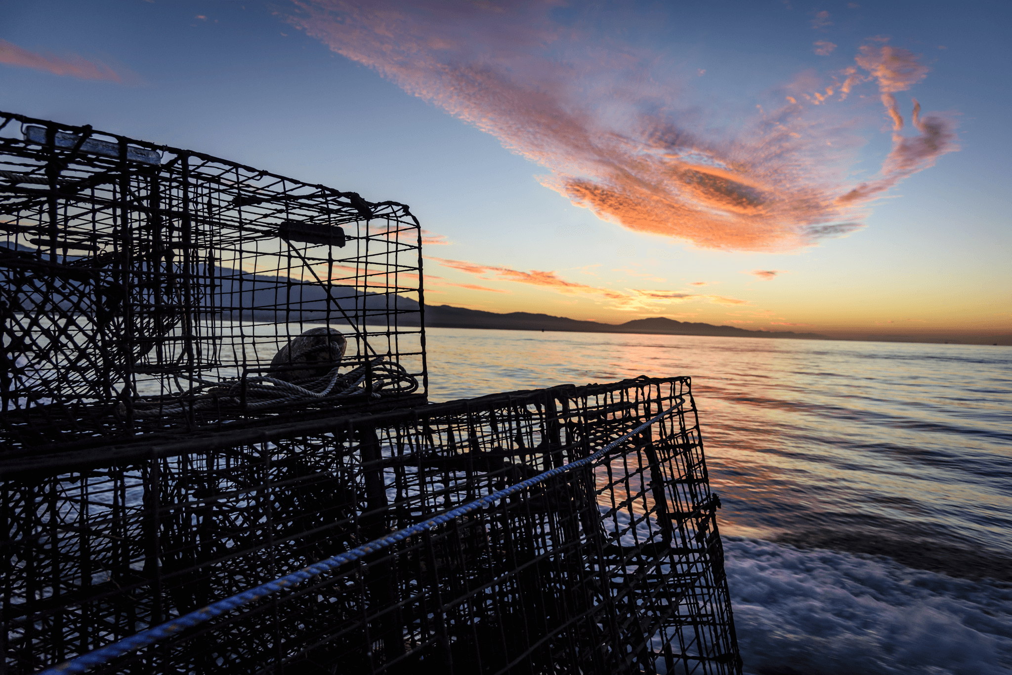
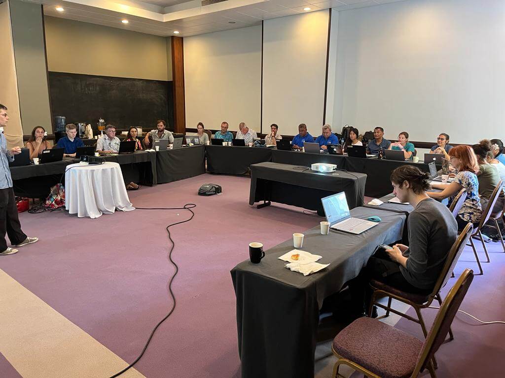
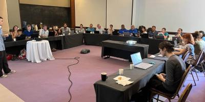
In late 2017, an MOU was signed between the Seychelles Fishing Authority (SFA) and CSIRO Oceans and Atmosphere in Australia to encourage joint research activities, including in fisheries stock assessments and harvest strategy development.  In early 2019, the SFA and CSIRO held an initial FishPath workshop in Victoria, Seychelles, to demonstrate the use of the FishPath Tool. Based on the positive feedback from SFA and local partners, SFA became interested in applying FishPath and working with the Conservancy, CSIRO, and NOAA Fisheries, in capacity building workshops for SFA managers. Simultaneously, there has been interest in coordinating FishPath activities with other projects in the country led by other groups such as the World Bank. After the positive reception of FishPath at SFA, the Conservancy, CSIRO, and NOAA launched a project in 2021 focused on increasing the capacity of SFA through trainings, collaborative research, and revision and improvement of harvest strategies, stock assessment, and management plans for various fisheries such as lobster, Spanner crab, and potentially other coastal fisheries that are priority for the government. As of the spring of 2022, SFA and the FishPath team have run a series of virtual FishPath workshops on the Spanner crab fishery to select data-limited assessment measures and implement basic management measures for the species. The team is also reviewing the new harvest strategy policy developed in the country, and at the same, providing recommendations for improving the management of Spanner crab, such as monitoring protocols and a framework for licensing.

alaska

Alaska

person holding a black rockfish
person with a rockfish

© ADFG

The Alaska Department of Fish and Game (ADFG) is tasked with writing fishery management plans for state managed rockfish. In late 2019, the FishPath Tool was applied by the data stewards, scientists, biologists, and managers to begin this daunting task. This overall team first divided into small groups, with each group walking through all three Tool questionnaires separately. The small groups then joined together to compare and ultimately settle on answers, documenting any discrepancies and nuances. Any lingering questions were flagged, with FishPath experts at NOAA Fisheries providing clarification through remote meetings. These questionnaires primarily allowed the researchers to identify which stock assessments methods to investigate further or work toward in the future, as well as which management measures were best suited for their management system. It also identified where data collection could be improved. In early 2020, ADFG has now organized and moved forward on its next steps through FishPath by preparing data, conducting stock assessments, and developing control rules. Within the next year, the agency hopes to have fully realized fishery management plans, stock assessments and control rules, with outlined next steps.

american-samoa

American Samoa

American Samoa coastline and ocean
Coral reef finfish in American Samoa

Shutterstock

Across American Samoa, coral reef finfish fisheries are culturally and economically important. Yet these complex, multispecies systems can be challenging to manage. During 2022, the FishPath Tool was used in a week-long hybrid in-person/virtual workshop series to support the process of drafting a sustainable fisheries management plan for coral reef finfish fisheries. The process was part of an on-going collaborative effort in the region led by American Samoa’s Department of Marine and Wildlife Resources (DMWR) and NOAA Fisheries’ Pacific Islands Regional Office to develop sustainable coral reef fishery management plans. TNC’s FishPath team collaborated with project leaders to design a workshop that would use the FishPath Tool to demonstrate how to identify management options for 5 priority species and demonstrate additional tools to aid in the design of their fishery management plans that can be used for all species in the multi-species fishery. In American Samoa, the team is organized by DMWRs, the Coral Reef Advisory Group, and the Pacific Islands Regional Office. Learn more at this August 2022 article from NOAA Fisheries which details this process in both American Samoa and Guam. 

brazil

Brazil

fishing boat with net
fishing boat at sunset

© Luis Gustavo Cardoso

Along the coast of Southern Brazil, industrial and artisanal catches targeting demersal fishes have been declining gradually since the 1980s, largely due to lack of an effective management strategy combined with a weak enforcement system, which has led to high fishing effort. The FishPath tool was used to support a decision process of selecting management measures options across an area of 13,700 km² within the territorial sea along the coast of Rio Grande do Sul State (RS), during the initial phases of a broader effort. After the initial tool application and several subsequent stakeholder meetings and data analyses, a ban on bottom trawling, which includes vast bycatch of undersized fish and endangered species, was proposed within the 12 nautical miles (territorial sea) along the RS coast. A follow-up study on the potential impacts of a bottom trawl ban was conducted and showed that each discarded ton of small fish of the four key species would produce 3 tons of fish at commercial size after one year and 10 tons after two years, resulting in potential revenues of ca. US$9 million for the fishing sector and government coffers through associated taxes, as well as benefit an estimated 22 endangered fish species. The results of this study were essential in gaining public support for the bottom trawling ban, which was approved and published as a Decree by the government of RS in 2018.

california

California

traps at sunset

The small-scale, data-limited Southern California Rock Crab fishery targets multiple species, including red (Metacarcinus or Cancer productus), yellow (Metacarcinus (formerly C.) anthonyi), and brown (Romaleon antennarium (formerly C. antennarius)) rock crab. Although economically valuable, the fishery has never been formally assessed and has exhibited rapid fishery growth in recent years that may be leading to overfishing. The fishery is currently managed through a state-wide size limit and restriction of the number of fishing permits, but little information is available on the efficacy of these controls or life history information. The assessment section of the FishPath Tool was used to identify a suite of data-limited stock assessment approaches best suited for the available information and conditions of the fishery. Assessment results collectively indicated symptoms of serial depletion (Fitzgerald et al. 2018). The results may be utilized by managers and fishery stakeholders to provide the critical scientific foundation for management in the California Rock Crab fishery.

french-polynesia

French Polynesia

workshop group in french polynesia

(c) TNC

The islands of French Polynesia cover a huge area across the southern Pacific Ocean with a highly diverse fish assemblage. Fishing is integral to Polynesian society and culture, but the management resources to cover such a vast area are limited, especially when it comes to reef and lagoon fisheries.  TNC’s Pacific program, led by FishPath Network member Alex Filous, has worked with fishing communities and lagoon fisheries in Rangiroa and engaged the community in data collection and developing management options. In April of 2023, the global FishPath team held a FishPath engagement workshop in Tahiti with the fisheries agency (Direction Des Ressources Marines (DRM)) to apply the FishPath Tool and Process to lagoon fisheries as a demonstration of the use of the Tool. The goal of the workshop was to demonstrate the FishPath process and tool and help identify areas for TNC-DRM collaboration and potential areas for capacity strengthening. Stepping through the Tool and working through the results demonstrated the inclusive, structured process that FishPath embodies and enabled TNC and DRM to develop an agreed upon plan for expanding and strengthening joint work on multiple islands in French Polynesia.

guam

Guam

Guam coastline
Guam coral reef finfish underwater

Shutterstock

During 2022, the FishPath Tool was applied in Guam during a week-long, hybrid in-person/virtual workshop to support drafting a sustainable fisheries management plan for coral reef finfish fisheries. Coral reef fisheries across Guam are complex in that they are multi-species, multi-gear, and currently operate without a comprehensive suite of management measures designed with stakeholders. These fisheries are incredibly important for local livelihoods and culture, and the finfish species are cornerstones of coral reef biodiversity. The process to apply the FishPath Tool was part of a broader, collaborative effort in the region led by the Government of Guam’s Department of Agriculture (DOAG) and NOAA Fisheries’ Pacific Islands Regional Office to develop sustainable coral reef fishery management plans. In Guam, participants included staff from the Department of Agriculture, Division of Aquatic & Wildlife Resources, scientists with NOAA Pacific Islands Fisheries Science Center, the University of Guam, and the University of Hawaiʻi. Next steps in Guam include additional workshops that focus on using indicator species (or key species that are part of the multispecies complex), and then community meetings to circulate and gather input on the draft plan. Learn more at this August 2022 article from NOAA Fisheries which details this process in both American Samoa and Guam.

kenya

Kenya

lamu county fishing vessels

© Mwangi Kirubi

Small-scale coastal fisheries in Kenya target many species that are important for coastal biodiversity and form the basis of local livelihoods. Kenya’s coastal fisheries also tend to be multispecific and multigear in nature, a setting which can present challenges to sustainable fisheries management. Added complexities include limitations in data and resources available for fisheries management and needs for additional capacity for monitoring and managing these important coastal resources. In 2021, the FishPath team, including members of the Conservancy, CSIRO in Australia, and NOAA Fisheries, worked with local partners in Kenya to apply FishPath and help tackle management gaps within Kenya’s lobster fishery management plan, including working with fisheries managers and researchers to review and improve existing the stock assessment, draft lobster harvest strategy, and management action plan. The team is currently building upon the FishPath process with the Kenya Fisheries Service (KeFS), Kenya Marine and Fisheries Research Institute (KMFRI), and other key stakeholders to further strengthen management of the lobster fishery and use lessons learned to advance improvement of other priority fisheries including the octopus fishery. The team is starting to assess the octopus supply chain and the use of octopus as bait in other fisheries. The information collected will be integrated into the FishPath approach for octopus in Kenya.

spain

Spain

tile mural of fishing in spain

Throughout the Gulf of Cadiz in southwestern Spain, the Bocinegro (Pagrus pagrus) fishery is economically and culturally important. The community of Conil de la Frontera (Conil), is responsible for approximately 64% of the total annual bocinegro catches in the Gulf of Cadiz region. Despite the development and enforcement of self-regulations, traceability platforms, and marketing measures by the Organization of Fishery Producers (Organización de Productores Pesqueros 72; OPP-72) of Conil, the fishery is limited by a lack of scientific and fleet information. The FishPath process was applied through a collaborative project with the Marine Stewardship Council (MSC) in 2018-2019. The project sought to explore how tools, such as FishPath and the Data-Limited Methods Toolkit, can help move data-limited fisheries along a path towards certification. During the FishPath process, diverse participants, including representatives from OPP-72, the Spanish Institute of Oceanography, and local non-profit organizations, collaboratively used the FishPath tool to identify appropriate data collection, assessment, and management options for the Bocinegro fishery.

Bahamas

bahamas conch underwater
Bahamas
In the Bahamas, FishPath is being applied to the Queen Conch and to snapper and grouper fisheries.

Bahamas

bahamas conch underwater
Bahamas
In the Bahamas, FishPath is being applied to the Queen Conch and to snapper and grouper fisheries.

Mexico - Pacific

small fishing vessel at sunset
Mexico - Pacific
In the Mexican Pacific, the FishPath process has been applied in the red snapper fishery and recently extended to the multispecies finfish fishery in the Gulf of California.

Mexico - Pacific

small fishing vessel at sunset
Mexico - Pacific
In the Mexican Pacific, the FishPath process has been applied in the red snapper fishery and recently extended to the multispecies finfish fishery in the Gulf of California.

Chile

small scale fishing chile
Chile
The application of FishPath in Chile is focused on bringing stakeholders together to improve management of coastal finfish fisheries, such as Vieja negra (Graus nigra).

Chile

small scale fishing chile
Chile
The application of FishPath in Chile is focused on bringing stakeholders together to improve management of coastal finfish fisheries, such as Vieja negra (Graus nigra).

Peru

small scale fishing vessels peru
Peru
The FishPath process was shaped in Peru, where a strong agency partnership has led to assessment of numerous coastal fisheries and stronger technical capacity among fisheries agency in the country.

Peru

small scale fishing vessels peru
Peru
The FishPath process was shaped in Peru, where a strong agency partnership has led to assessment of numerous coastal fisheries and stronger technical capacity among fisheries agency in the country.

Hawai'i

kaupulehu landscape
Hawai'i
In Hawai'i, the FishPath process is supporting the development of community-based fisheries management plans.

Hawai'i

kaupulehu landscape
Hawai'i
In Hawai'i, the FishPath process is supporting the development of community-based fisheries management plans.

Spain

tile mural of fishing in spain
Spain
FishPath was applied in Spain through a collaboration with the Marine Stewardship Council (MSC).

Spain

tile mural of fishing in spain
Spain
FishPath was applied in Spain through a collaboration with the Marine Stewardship Council (MSC).

California

traps at sunset
California
The assessment section of the FishPath tool was used in the California rock crab fishery.

California

traps at sunset
California
The assessment section of the FishPath tool was used in the California rock crab fishery.

Australia

new south wales beach
Australia
Led by CSIRO, the FishPath process is being undertaken for multiple inshore coastal fisheries in the state of New South Wales, Australia.

Australia

new south wales beach
Australia
Led by CSIRO, the FishPath process is being undertaken for multiple inshore coastal fisheries in the state of New South Wales, Australia.

Indonesia

indonesia small scale fishing
Indonesia
In Indonesia, FishPath is being led by scientists at NOAA Fisheries, applied at both the national level and in West Papuan fisheries.

Indonesia

indonesia small scale fishing
Indonesia
In Indonesia, FishPath is being led by scientists at NOAA Fisheries, applied at both the national level and in West Papuan fisheries.

Kenya

lamu county fishing vessels
Kenya
The FishPath process in Kenya is supporting the improvement of priority fisheries including the lobster and octopus fisheries.

Kenya

lamu county fishing vessels
Kenya
The FishPath process in Kenya is supporting the improvement of priority fisheries including the lobster and octopus fisheries.

Seychelles

fishing boats in seychelles coastal landscape
Seychelles
FishPath is being applied in Seychelles in collaboration with the Seychelles Fishing Authority, starting with the Spanner crab fishery.

Seychelles

fishing boats in seychelles coastal landscape
Seychelles
FishPath is being applied in Seychelles in collaboration with the Seychelles Fishing Authority, starting with the Spanner crab fishery.

Alaska

person holding a black rockfish
Alaska
In Alaska, the FishPath tool is being used to guide the development of fishery management plans for state-managed rockfish.

Alaska

person holding a black rockfish
Alaska
In Alaska, the FishPath tool is being used to guide the development of fishery management plans for state-managed rockfish.

Brazil

fishing boat with net
Brazil
In Brazil, the FishPath tool was used as a decision-support system in the initial steps of a broader process to develop fishery management actions for demersal fisheries along the coast of the Rio Grande do Sul state.

Brazil

fishing boat with net
Brazil
In Brazil, the FishPath tool was used as a decision-support system in the initial steps of a broader process to develop fishery management actions for demersal fisheries along the coast of the Rio Grande do Sul state.

Guam

Guam coastline
Guam
During 2022, the FishPath Tool was used in a week-long hybrid in-person/ virtual workshop to support the process of drafting a sustainable fisheries management plan for coral reef finfish fisheries in Guam.

Guam

Guam coastline
Guam
During 2022, the FishPath Tool was used in a week-long hybrid in-person/ virtual workshop to support the process of drafting a sustainable fisheries management plan for coral reef finfish fisheries in Guam.

American Samoa

American Samoa coastline and ocean
American Samoa
During 2022, the FishPath Tool was used in a week-long virtual workshop to support the process of drafting a sustainable fisheries management plan for coral reef finfish fisheries in American Samoa.

American Samoa

American Samoa coastline and ocean
American Samoa
During 2022, the FishPath Tool was used in a week-long virtual workshop to support the process of drafting a sustainable fisheries management plan for coral reef finfish fisheries in American Samoa.

Mexico - Atlantic

laguna de terminos coastline
Mexico - Atlantic
In the Atlantic coast of Mexico, the FishPath Process is being applied in the Blue Crab fishery in collaboration with partners at INAPESCA and fishery stakeholders.

Mexico - Atlantic

laguna de terminos coastline
Mexico - Atlantic
In the Atlantic coast of Mexico, the FishPath Process is being applied in the Blue Crab fishery in collaboration with partners at INAPESCA and fishery stakeholders.

French Polynesia

workshop group in french polynesia
French Polynesia
The FishPath Tool was used during a workshop in April 2023 in Tahiti, French Polynesia in collaboration with the Direction Des Ressources Marines (DRM).

French Polynesia

workshop group in french polynesia
French Polynesia
The FishPath Tool was used during a workshop in April 2023 in Tahiti, French Polynesia in collaboration with the Direction Des Ressources Marines (DRM).
scroll up icon